SURVEY & RIGHT-OF-WAY
Survey and right-of-way services are indispensable components of civil engineering projects, providing essential groundwork for successful infrastructure development. Surveying professionals utilize cutting-edge technologies and methodologies to accurately map land features, determine property boundaries, and assess topographical characteristics. This comprehensive data is crucial for project planning, design, and construction. Additionally, surveying plays a vital role in facilitating right-of-way plan development, a process essential for securing the necessary land parcels and easements required for infrastructure projects such as roads and utilities. Carpenter Marty Transportation’s survey and right-of-way team includes 3 professional surveyors, 1 certified survey technician, 2 surveying interns, 1 remote pilot in command/certified drone operator, and several surveying technicians. Our team brings more than 200 years of combined experience to our clients.
Carpenter Marty Transportation has partnered with state agencies, cities, villages, townships, counties, park and recreation departments, other consultants, and private owners for more than 20+ years to assist with all their surveying and right-of-way plan development needs. Our survey team is experienced in a full array of services including high-definition laser scanning, basemapping, title and courthouse research, construction staking, ALTA surveys, boundary retracement, plan production, and legal descriptions. Our project types range from private land and public infrastructure surveys to interior building scans and as built surveys.
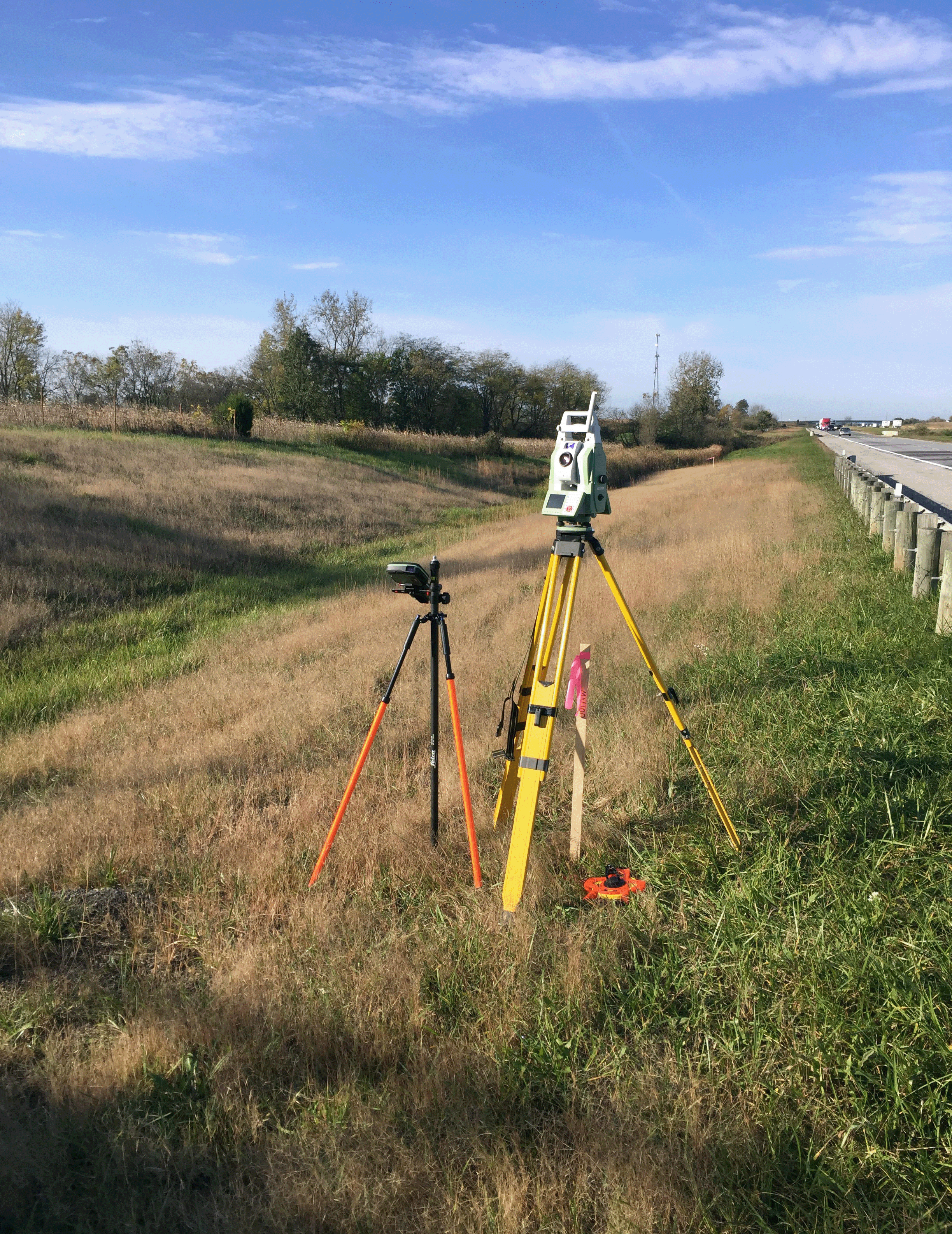
Our team is proficient in relevant software and tools including the MicroStation Suite, AutoCAD Suite, and Bluebeam Revu. We utilize Leica and Topcon GPS and robotic total stations for field survey collections. We fly a DJI Phantom 4 RTK Drone for all aerial data collections. Our staff frequently reviews the latest trends and available equipment options upon their release to determine the best option suitable for providing our clients with the highest quality services.
We work closely with clients, regulatory agencies, and stakeholders to navigate complex legal and regulatory requirements, streamline the right-of-way acquisition process, and ensure compliance with applicable laws and regulations. From initial land surveys to right-of-way negotiations and documentation, our firm offers a full spectrum of services aimed at facilitating smooth project execution and maximizing the value of infrastructure investments.


